|
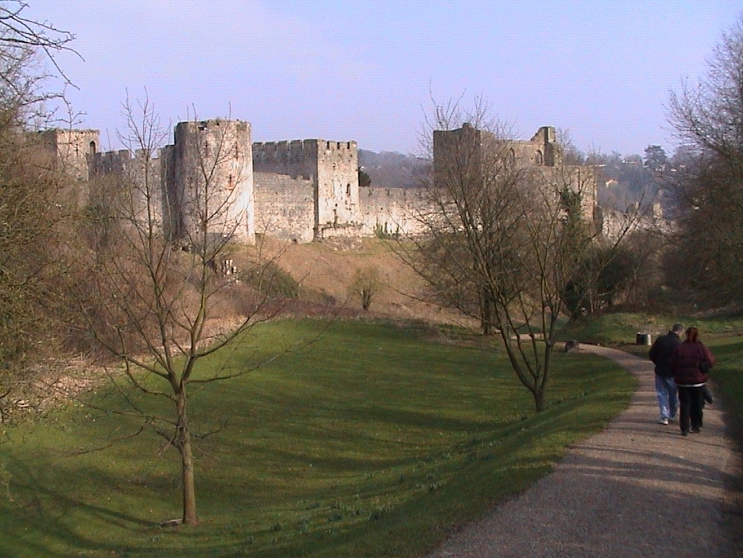
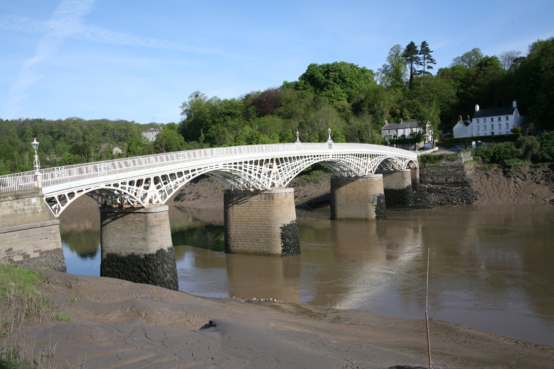
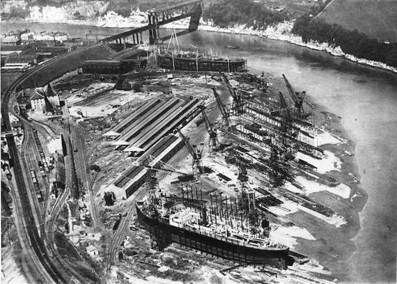
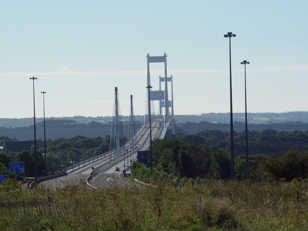
The oldest site of known habitation at Chepstow is at Thornwell - overlooking the estuaries of the Wye and Severn close to the modern M48 motorway junction, where archaeological investigations in advance of recent housing development revealed continuous human occupation from the Mesolithic period of around 5000 BC until the end of the Roman period, about 400 AD. There are also Iron Age fortified camps in the area - dating from the time of the Silures, at Bulwark, 1 mile (1.6 km) south of the town centre, and at Piercefield and Lancaut, some 1.5 miles (2.4 km) to the north. During the Roman occupation - there was a bridge or causeway across the Wye, about 0.6 miles (0.97 km) upstream of the later town bridge. Chepstow is located at a crossing point directly between the Roman towns at Gloucester (Glevum) and Caerwent (Venta Silurum). Although historians think it likely that there was a small Roman fort in the area, the only evidence found so far has been of Roman material and burials, rather than buildings. After the Romans left, Chepstow was within the southern part of the Welsh kingdom of Gwent, known as Gwent Is-coed. To the north of the modern town centre, a small church was established dedicated to St. Cynfarch (alternatively Cynmarch, Kynemark or Kingsmark), a disciple of St. Dyfrig. This later became an Augustinian priory on what is now Kingsmark Lane, but no traces of it remain. The town is close to the southern point of Offa's Dyke, which begins on the east bank of the Wye at Sedbury and runs all the way to the Irish Sea in north Wales. This was built in the late 8th century as a boundary between Mercia and the Welsh kingdoms, although some recent research has questioned whether the stretch near Chepstow formed part of the original Dyke. It is possible, though not clearly substantiated - that Chepstow may have superseded Caerwent as a trading centre, and been used by both Saxons and the Welsh. The Lancaut and Beachley peninsulas, opposite Chepstow, were in Welsh rather than Mercian control at that time, although by the time of the Domesday Book Striguil was assessed as part of Gloucestershire. After the Norman conquest of England Chepstow was a key location. It was at the lowest bridging point of the River Wye, provided a base from which to advance Norman control into south Wales, and controlled river access to Hereford and the Marches. Chepstow Castle - was founded by William fitzOsbern, 1st Earl of Hereford, in 1067, and its Great Tower, often cited as the oldest surviving stone fortification in Britain, dates from that time or shortly afterwards. Its site, with sheer cliffs on one side and a natural valley on the other, afforded an excellent defensive location. A Benedictine priory - now St Mary's Church, was also established nearby. This was the centre of a small religious community, the remains of which are buried under the adjoining car park. Monks, originally from Cormeilles Abbey in Normandy, were there until the Dissolution of the Monasteries. The castle was expanded by William Marshal in the late twelfth century and, a century later, by Roger Bigod, 5th Earl of Norfolk. Bigod was also responsible for establishing a weekly market and annual fair, in the town which had grown up on the slopes between the castle and priory, and for building the Port Wall around it shortly after 1274. A toll gate - controlled entry to the market area; this Town Gate was rebuilt in the 16th century. The town faced some hostile attacks from the Welsh to the west, but after the 14th century the castle's importance diminished. The port of Chepstow developed during the mediaeval period, one reason being that its control by a Marcher Lord, rather than by the King, meant that it was exempt from English taxation. It mainly traded in timber and bark from the Wye Valley, and with Bristol. From medieval times, Chepstow was the largest port in Wales - its ships sailed as far as Iceland and Turkey, as well as to France and Portugal, and the town was known for its imports of wine. Chepstow was given its first charter in 1524, and became part of Monmouthshire when the county was formed. The castle and town changed hands several times during the English Civil War, and the regicide Henry Marten was later imprisoned and died in the castle. The port continued to flourish; during the period 1790 to 1795, records show a greater tonnage of goods handled than Swansea, Cardiff and Newport combined. Chepstow reached the peak of its importance - during the Napoleonic Wars, when its exports of timber, for ships, and bark, for leather tanning, were especially vital. There were also exports of wire and paper, made in the many mills on the tributaries of the Wye. An important aspect of Chepstow's trade was entrepôt trade: bringing larger cargoes into the manageable deep water of the Wye on high tide and breaking down the load for on-shipment in the many trows up the Wye to Hereford past the coin stamping mill at Redbrook, or up the Severn to Gloucester and beyond. Chepstow also traded across the estuary to Bristol on suitable tides to work vessels up and down the Avon to that city's centre. Many buildings in the town remain from the late 18th and early 19th centuries; the elegant cast iron bridge across the Wye was opened in 1816 to replace an earlier wooden structure. The Chepstow Bridge is the world's largest iron arch road bridge built before 1830 and the only remaining example from this era. The town became an important centre for tourism from the late eighteenth century, when the "Wye Tour" became popular. Visitors regularly took boats from Ross-on-Wye and Monmouth down the river, visiting, drawing and painting the "picturesque" views of the area, which included those of Tintern Abbey, Piercefield House, and the ruined Chepstow Castle. In the 19th century a shipbuilding industry developed, and the town was also known for the production of clocks, bells, and grindstones In 1840 leaders of the Chartist insurrection in Newport were transported from Chepstow to Van Diemen's Land. The port's trade declined after the early 19th century, as Cardiff, Newport and Swansea became more suitable for handling the bulk export of coal and steel from the Glamorganshire and Monmouthshire valleys. However, shipbuilding was briefly revived when the National Shipyard No.1 was established during the First World War and for a short period afterwards, when the first prefabricated ships, including the War Glory, were constructed there. The influx of labour for the shipyards, from 1917, led to the start of "garden suburb" housing development at Hardwick (now known locally as "Garden City") and Bulwark. The shipyard itself became a works for fabricating major engineering structures. From 1938, Chepstow housed the head office of the Red & White bus company, on Bulwark Road. The town developed rapidly after the opening of the Severn Bridge in 1966 - which replaced the car ferry between Beachley and Aust and allowed easier commuting between Chepstow and larger centres including Bristol and Cardiff. In 2016 the 200th anniversary of the Wye Bridge and the 50th anniversary of the Severn Bridge were marked with celebrations in the town. In 2017 we celebrated 950 years since the founding of the castle and town On December 17th, 2018 tolls were removed from both the Severn Bridge and the Second Severn Crossing (since renamed the Prince of Wales Bridge). In 2024 the town is celebrating the 500 year anniversary of the Town Gate and Town Charter of 1524 |
Chepstow Walkers are Welcome
- Home
- Events Diary
- Inspiration
- Bookshop
- Pathcare Group
- Stay, Eat and Shop
-
Walking in the Lower Wye
- Chepstow Town Map
- Wales Coast Path
- Offa's Dyke Path
- The Gloucestershire Way
- Wye Valley Walk
- The Monmouthshire Way
- Chepstow Dell and Town
- Devauden Loop
- Lancaut Peninsula
- St Tewdrics Way
- Devils Pulpit
- Mathern and St Pierre
- Chepstow Riverside
- Vedw Wood and The Cot
- Penallt
- Shirenewton and Llanmellin Hillfort
- Contact Us
|
Email: [email protected]
Address: Chepstow Walkers are Welcome, c/o Fox and Hounds, Itton, Chepstow Monmouthshire NP16 6BX Tel: 01291 641856 or 07760 195320 |
